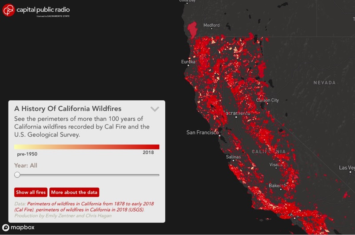
California Wildfire History Map

Working with Emily Zentner, I helped design and develop and interactive map showing more than 100 years of California wildfire perimeters, illustrating how fires had impacted the state over time and how those patterns were changing.
This project was redesigned by Zentner and Liz Anderson in 2021, but you can read more about initial map process at Source.